When you rely on your phone to find a restaurant or a delivery truck to track its route, you’re depending on GPS accuracy, the ability of satellite-based systems to determine your exact location on Earth. This isn’t just about showing a dot on a map—it’s about knowing your position within a few feet, sometimes even inches, whether you’re driving, farming, or launching a rocket. Most people think GPS is perfect, but raw satellite signals can be off by 15 feet or more due to atmospheric delays, building reflections, or satellite positioning. That’s not enough for self-driving cars, precision agriculture, or landing on the Moon.
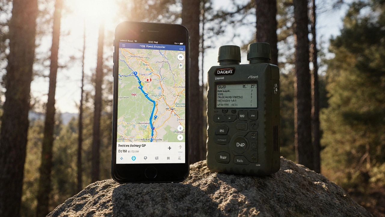
That’s where Differential GPS, a system that uses ground-based reference stations to correct satellite signal errors in real time. Also known as DGPS, it’s the reason surveyors can map property lines to within 1 centimeter and why SpaceX’s landing legs know exactly where to touch down on a drone ship. DGPS doesn’t replace GPS—it enhances it. A fixed receiver on the ground, already knowing its exact location, calculates how much the satellite signals are off and sends corrections to nearby devices. This technique is used in aviation, maritime shipping, and even in NASA’s lunar lander prototypes. Without it, formation flying satellites like those in the upcoming SWOT mission couldn’t maintain millimeter-level spacing to measure ocean height changes.
Other systems like GPS augmentation, broad terms for technologies that improve satellite navigation beyond basic GPS, include WAAS in the U.S., EGNOS in Europe, and Japan’s QZSS. These use geostationary satellites to broadcast corrections over wide areas, making smartphone navigation reliable even under tree cover. Meanwhile, companies are testing multi-constellation receivers that pull signals from GPS, Galileo, GLONASS, and BeiDou at once—boosting accuracy and reducing dropouts in cities.
And it’s not just about getting there. GPS accuracy drives everything from automated tractors that plant seeds in perfect rows to drones that map wildfires in real time. Even your smartwatch’s heart rate data during a run becomes more meaningful when it knows exactly where you turned, climbed, or slowed down. The difference between 5-meter and 10-centimeter accuracy isn’t just technical—it’s economic, scientific, and lifesaving.
What you’ll find below is a curated collection of posts that break down how this precision is built, from the math behind signal correction to the hardware that makes it possible. Whether you’re curious why your car’s navigation still glitches in tunnels or how NASA ensures lunar landers don’t crash into craters, the answers are here—no jargon, no fluff, just how it actually works.
Civilian GPS is no longer less accurate than military GPS - modern devices using dual-frequency signals match military precision. The real difference lies in anti-jamming, security, and access - not raw accuracy.
Learn More