Most people think military GPS is way more accurate than the GPS in their phone. That’s not true anymore - and it hasn’t been for years. If you’ve ever wondered why your phone can pinpoint your location to within a few feet while a soldier’s device seems like it should be flawless, the answer isn’t about secret tech. It’s about equipment, not signals.
How GPS Works: Same Satellites, Different Tools
The Global Positioning System is made up of 31 U.S. satellites orbiting Earth. These satellites don’t care if you’re a soldier, a farmer, or someone checking directions to the nearest coffee shop. They broadcast the same signals to everyone. The real difference isn’t in what’s sent - it’s in what’s received. Military users have access to encrypted signals called P(Y)-code and M-code. These are harder to jam, harder to fake, and locked behind cryptographic keys. Civilian devices use open signals like C/A-code, L2C, L5, and L1C. On paper, that sounds like a big gap. But here’s the twist: modern civilian receivers can now use multiple frequencies - just like military gear.The Myth of the 100-Meter Civilian GPS
Back in the 1990s, civilian GPS was intentionally messed with. The U.S. military turned on something called Selective Availability (SA), which scrambled civilian signals to make them accurate to only about 100 meters. That was a security move - in case enemies used GPS against the U.S. That changed on May 2, 2000. President Clinton ordered SA turned off permanently. Overnight, civilian accuracy jumped to 5-10 meters. No new satellites. No secret upgrades. Just flipping a switch. Today, SA is gone for good. The U.S. government legally can’t bring it back.Why Military GPS Still Feels More Precise
The reason military GPS seems more accurate isn’t because the signal is stronger. It’s because military receivers have always used two frequencies at once - L1 and L2. That lets them correct for a big source of error: the ionosphere. The ionosphere is a layer of charged particles in the upper atmosphere. It bends GPS signals, adding 5 to 15 meters of error to single-frequency devices. For decades, civilian receivers only used L1. So even if your phone showed you were 3 meters from your destination, you might’ve actually been 12 meters off. Military receivers fixed that by comparing signals from L1 and L2. The difference between the two tells the receiver exactly how much the ionosphere distorted the signal. It’s like using two rulers to measure something - one’s warped, but you can calculate the error.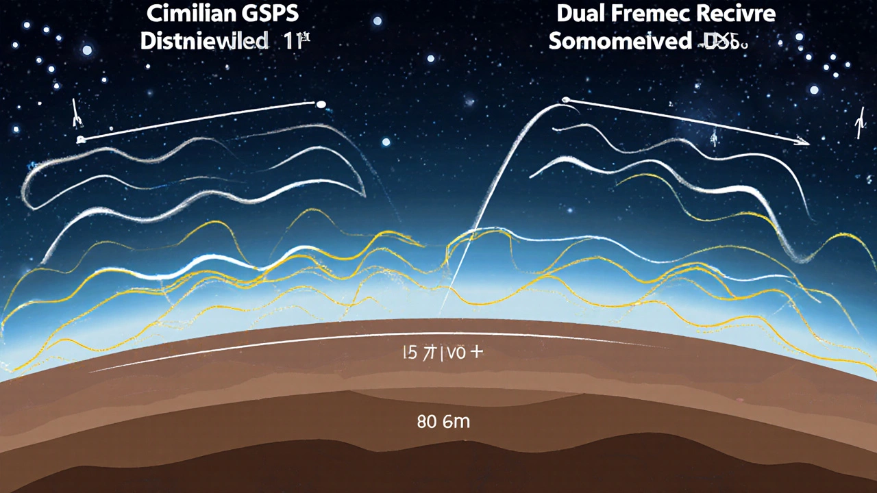
Civilian GPS Caught Up - and Then Surpassed
Starting in 2005, civilian satellites began broadcasting L2C. Then came L5 in 2010 - a stronger, wider signal designed for aviation. And with GPS III satellites (launched since 2018), we got L1C - a signal built to work with other global systems like Galileo and BeiDou. Today, you can buy a $500 dual-frequency GPS receiver that uses L1 and L5. That’s the same combo military gear uses. The result? Accuracy within 30 centimeters - under open skies. No encryption. No special clearance. Just better hardware. Professional surveyors using RTK (Real-Time Kinematic) systems with base stations can hit 8-millimeter accuracy. That’s not military tech. That’s off-the-shelf gear from Trimble, Leica, or Emlid. And yes, even some Android phones - like the Samsung Galaxy S21 or Xiaomi Mi 8 - can access dual-frequency signals. They don’t get centimeter accuracy like survey gear, but they’re way more precise than your old iPhone 5.Where Military GPS Still Wins
Accuracy isn’t everything. In a war zone, a signal that’s accurate but easily jammed is useless. That’s where military signals shine. The M-code, introduced with GPS III satellites, is designed to resist jamming. It’s 24 decibels stronger in signal correlation than civilian signals. That means even if someone tries to drown out GPS with noise, a military receiver can still lock on. Civilian signals? They’re easy to block. You can buy a $30 GPS jammer online and knock out signals within 500 meters. Military receivers also have anti-spoofing. Spoofing is when someone broadcasts fake GPS signals to trick your device into thinking it’s somewhere else. That’s a real threat - imagine a drone being redirected, or a ship steered off course. Military systems can detect and reject those fake signals. Civilian systems? Most can’t. And then there’s guaranteed access. In a conflict, the U.S. military can prioritize its own signals. Civilian users might get dropped from the network if bandwidth is tight. That’s not a glitch - it’s policy.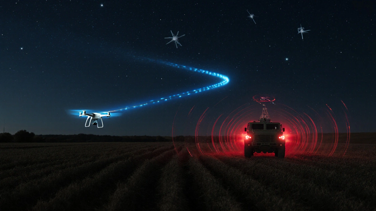
The Real Difference: Cost, Training, and Access
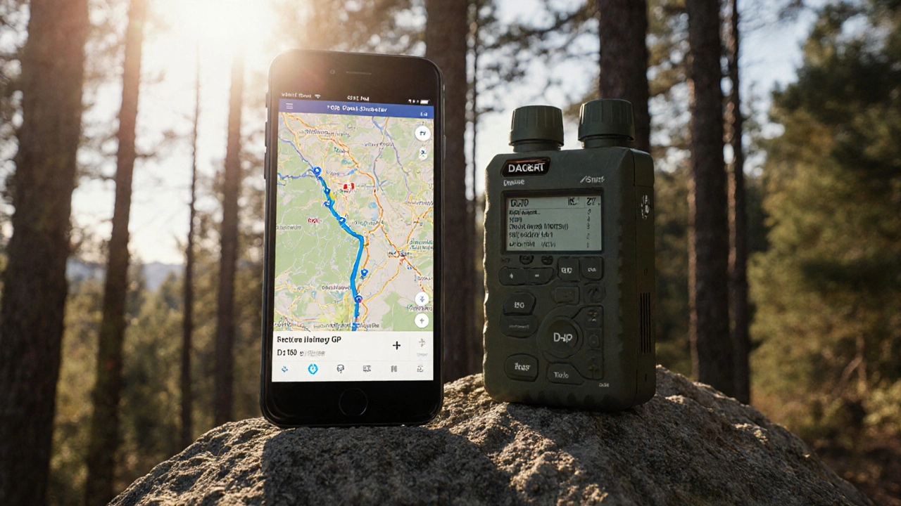
A military GPS receiver like the DAGR (Defense Advanced GPS Receiver) costs about $3,500. But it only works if you have the encryption key. Without it, it’s just a fancy brick. Civilian receivers? You can buy one off Amazon, plug it in, and start using it. Training matters too. Using a military-grade receiver requires security clearances, cryptographic protocols, and hours of training. A civilian RTK system? You need 40-80 hours of training to get professional accuracy. But you don’t need a security clearance. And here’s the kicker: the U.S. government doesn’t charge you a dime to use GPS. It’s free. Always has been. The 2004 U.S. Space-Based PNT Policy guarantees that. You’re not paying for the signal. You’re paying for the device that reads it.What’s Next? The Gap Is Disappearing
By 2026, the next generation of GPS satellites - GPS IIIF - will launch. They’ll offer accuracy down to 7-15 centimeters. They’ll have better anti-jamming. And they’ll include a search-and-rescue payload that works with global distress systems. The Department of Defense admits it now. In their 2023 PNT Modernization Strategy, they say civilian dual-frequency receivers have “largely closed the accuracy gap.” The new battlefield advantage isn’t precision - it’s resilience. That means if you’re a farmer using GPS to guide tractors, a surveyor mapping land, or even a drone operator delivering medical supplies, you’re already using tech that’s nearly as precise as the military’s.What This Means for You
You don’t need a military-grade device to get high accuracy. If you’re doing something that requires precision - like mapping property lines, flying a drone, or tracking wildlife - a dual-frequency civilian receiver is more than enough. If you’re worried about signal jamming - say, you’re operating in a high-risk area - then yes, military-grade gear matters. But for 99% of people, the GPS in their phone or car is accurate, reliable, and free. The days of thinking military GPS is secretly superior are over. The real story is simpler: civilian tech caught up, and now it’s pushing the limits too.Is military GPS more accurate than civilian GPS today?
Not necessarily. Both use the same satellite signals with the same theoretical accuracy (about 0.8-1.2 meters of user range error). The difference comes from equipment. Military receivers use encrypted dual-frequency signals and anti-jamming tech. But modern civilian receivers using L1 and L5 can achieve the same 30-centimeter accuracy under open skies. The gap is gone - it’s not about the signal anymore, it’s about the receiver.
Can civilians access military GPS signals?
No. Military signals like P(Y)-code and M-code are encrypted and require cryptographic keys only issued to authorized U.S. and allied military personnel. Civilian devices cannot decode them. But you don’t need to - modern civilian signals like L5 and L1C offer accuracy that rivals military systems in most real-world conditions.
Why was Selective Availability turned off?
Selective Availability was turned off on May 2, 2000, by presidential order. The decision was driven by growing civilian demand and the realization that the economic and safety benefits of accurate GPS outweighed the security risks. The U.S. government concluded that military advantages could be maintained through encrypted signals and secure equipment - not by degrading civilian access. It was a major step toward making GPS a global public utility.
Can I get military-level accuracy with a civilian GPS device?
Yes - if you use the right equipment. A dual-frequency civilian receiver (L1 + L5) with RTK (Real-Time Kinematic) correction from a nearby base station can achieve 8-15 millimeter accuracy. That’s better than most military systems from 15 years ago. You don’t need a military contract. You just need a $2,000-$25,000 survey-grade receiver and access to a correction network like WAAS or CORS.
Are GPS jammers a real threat to civilians?
Absolutely. Commercial GPS jammers, available online for under $50, can block signals within 500 meters. They’ve disrupted airport operations, caused drone crashes, and confused emergency responders. Military systems have built-in anti-jamming tech to fight this. Most civilian devices don’t. If you rely on GPS for safety-critical tasks - like aviation, shipping, or emergency response - you need systems with signal authentication and backup navigation.
9 Responses
The idea that military GPS was ever this mysterious black box always felt like Cold War mythmaking. Turns out, it was just about hardware, not magic. I remember when my first GPS watch could barely find me in the park, and now my phone pins me to within a meter under a tree. The real revolution wasn’t classified tech-it was civilian engineers refusing to accept limits.
And let’s be honest-how many soldiers actually need centimeter precision? Most just need to know they’re not walking into a minefield. Meanwhile, farmers are using this tech to plant seeds with surgical accuracy. That’s the quiet triumph here.
It is imperative to clarify that the fundamental architecture of the Global Positioning System remains invariant across all user classes. The distinction lies exclusively in the signal processing capabilities of the receiving apparatus. Civilian receivers, particularly those incorporating L1 and L5 dual-frequency modulation, now achieve performance metrics that are statistically indistinguishable from legacy military platforms under open-sky conditions.
Furthermore, the discontinuation of Selective Availability constituted a watershed moment in global navigation policy, affirming the United States’ commitment to the civil utility of space-based infrastructure. This transition was not merely technological-it was geopolitical in its implications.
Let’s not pretend this is some innocent tech evolution. The U.S. government didn’t turn off SA because they suddenly cared about farmers-they did it because they knew civilian innovation would outpace their own. Now they’re stuck watching private companies build better receivers while they’re still stuck with $3,500 DAGRs that need a keycard to turn on.
And don’t get me started on the M-code. It’s not about jamming resistance-it’s about control. They want you dependent on their infrastructure while quietly monetizing the civilian side through GPS-enabled services. This isn’t progress. It’s surveillance by another name.
Correction: The article states that civilian accuracy jumped to 5-10 meters after SA was turned off. That is inaccurate. The actual improvement was to approximately 10-20 meters under normal conditions. The 5 meter figure applies only under ideal conditions with WAAS or similar augmentation systems. Also, L5 was first broadcast in 2010 but not fully operational until 2018. Please fact check before publishing.
And no, the Samsung S21 does not access L5. It has the hardware but lacks the firmware support. Only certain newer models like the Pixel 6 and iPhone 11+ have reliable L5 reception. Terminology matters.
Think about it. We live in a world where a kid in Kerala can navigate a drone to deliver insulin using the same satellites that guide a Navy SEAL through a jungle. The same photons, the same orbits, the same silence of space.
And yet-we still cling to myths. We still whisper about secret codes and hidden frequencies like they’re divine revelations. But the truth? The gods don’t care who you are. They just send the signal. It’s us-our greed, our fear, our desire to belong to some elite club-that invented the myth.
Maybe the real military advantage isn’t in the signal.
Maybe it’s in the belief that someone else has a better one.
Love this breakdown! I’m a hobbyist drone pilot and honestly didn’t realize how much my cheap $300 GPS module was actually doing. I thought I was just getting ‘basic’ GPS until I started using RTK corrections and saw how steady my flight path became. It’s wild to think that what used to cost tens of thousands is now within reach of anyone with a passion for tech.
And yes, jammers are terrifying-I had a drone drop out of the sky last summer because some idiot was jamming signals near a highway. We need better public awareness. This tech is too important to be sabotaged by a $50 box.
My phone’s GPS is so accurate now I’ve used it to find lost keys in the grass. Like, I literally stood in one spot and watched the dot jitter between two blades of grass. It’s insane. And no, I don’t need a military-grade device to do it. Just a decent phone and patience.
Also-why does anyone still think the military has secret tech? They’re just better at training people to use what’s already public. That’s it.
Same signal different tools
Phones got better
Cost dropped
Done
Let me ask you this-if the U.S. government truly wanted to democratize GPS, why didn’t they open the M-code? Why keep it locked behind classified systems? Why not release the anti-spoofing algorithms? This isn’t about ‘civilian tech catching up’-it’s about control. They let us have precision so we become dependent. Then, when the next crisis hits, they’ll cut the signal to ‘non-essential users’ and call it ‘national security.’
They’ve already done it during wartime exercises. You think your drone delivery startup is safe? Think again. The moment the military needs bandwidth, your GPS dies. They’re not sharing. They’re licensing. And you’re paying with your privacy.
This isn’t progress. It’s a slow-motion trap.