When we talk about satellite farming, the use of orbiting satellites to monitor and manage agricultural land in real time. It's not sci-fi—it’s happening right now on farms from Iowa to Kenya. Also known as precision agriculture, it turns satellite data into actionable decisions that boost yields, save water, and slash chemical use. This isn’t just about pretty maps. It’s about knowing exactly where your crops are stressed, where pests are hiding, and when to water—before you even step into the field.
Behind satellite farming are three key players: satellite imagery, high-resolution photos taken from space that show plant health through infrared and multispectral bands, remote sensing, the science of collecting data about Earth’s surface without direct contact, using sensors on satellites, and crop monitoring, the ongoing tracking of plant growth, soil moisture, and disease patterns across large areas. These aren’t separate tools—they work together. Satellite imagery gives the picture, remote sensing reads the hidden signals (like chlorophyll levels), and crop monitoring turns that into alerts: "Field 7B needs nitrogen. 42% of your soybeans show early drought stress."
Think about how farmers used to work: walking fields, guessing based on color, hoping rain came on time. Now, a single satellite pass can cover thousands of acres. Systems like those used by NASA and private companies such as Planet Labs and Maxar detect changes in plant health that the human eye can’t see. They spot fungal outbreaks before they spread. They measure how much water each row of corn actually needs—down to the gallon. And they do it daily, not once a season.
This isn’t just for big agribusinesses. Smaller farms are using affordable apps that pull satellite data straight to their phones. A farmer in Nebraska can see if his wheat is thriving or dying, compare it to his neighbor’s field, and adjust fertilizer without ever leaving the tractor. In drought-stricken regions, satellite farming helps stretch every drop of water. In places with heavy rains, it prevents over-application that pollutes rivers.
The data doesn’t just help now—it builds a record. Over years, farmers can see how their land responds to climate shifts, different seeds, or new tillage methods. Insurance companies use it to verify crop damage. Governments use it to track food security. And scientists use it to model how climate change will affect global harvests.
You’ll find posts here that break down how satellites like Sentinel-2 and Landsat are used on the ground, how AI turns raw data into farm advice, and how companies are cutting costs by replacing drone surveys with satellite updates. You’ll also see how this tech ties into bigger systems—like satellite internet for remote farms, space weather resilience that keeps signals stable, and formation flying satellites that work in sync to give clearer, faster updates.
What you won’t find is hype. Just real examples of how farmers are using space tech to grow more food, use fewer resources, and survive in a changing world. Whether you’re a grower, a tech fan, or just curious how space connects to your dinner plate—this collection shows you how it’s done, right now, on the ground below the stars.
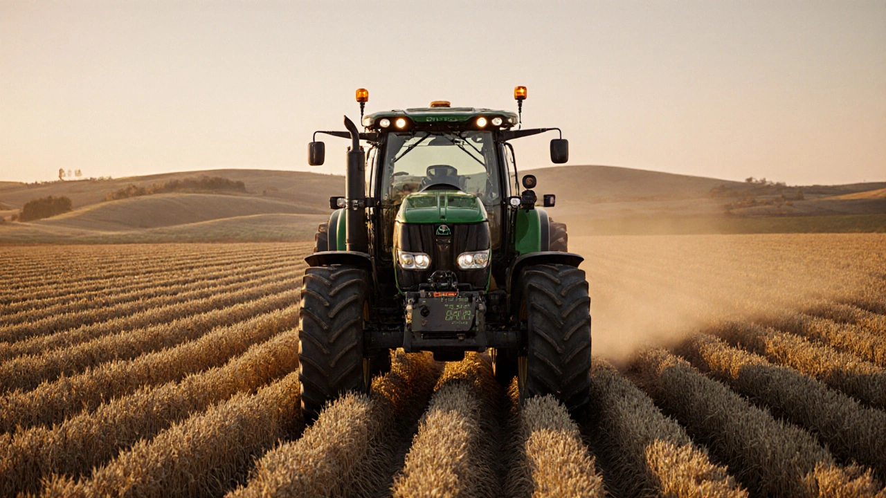
RTK-guided farming uses satellite corrections to achieve centimeter-level accuracy, reducing input waste by 15-20% and boosting yields by 5-10%. Learn how it works, who benefits, and what it costs.
Learn More