
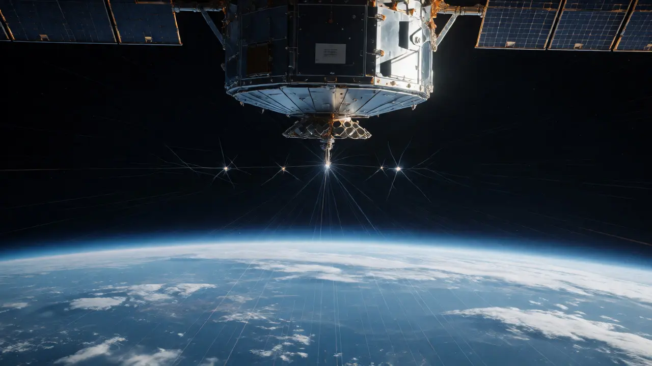
Imagine trying to navigate a city without street signs, relying only on the position of distant stars. That’s essentially what satellites in Low Earth Orbit (LEO) do when they use space-based GNSS receivers to track their own location. Unlike cars or phones that look up at the sky, these spacecraft often look down or sideways, catching signals from navigation constellations like GPS while moving at 17,500 miles per hour. This isn't just a cool engineering trick; it is the backbone of modern autonomous spaceflight.
If you've ever wondered how a CubeSat knows exactly where it is without calling home for help, the answer lies in specialized hardware designed to handle the unique physics of orbital mechanics. Standard GPS receivers fail in space because the geometry changes, signal strength drops, and radiation can fry consumer electronics. But space-grade receivers have evolved from experimental curiosities on Landsat missions in the 1980s to the standard navigation tool for thousands of satellites today. Let's break down how this works, why it matters, and what the future holds for positioning in orbit.
The Shift from Ground Tracking to Autonomous Navigation
For decades, knowing where a satellite was meant waiting for ground stations to ping it with radio waves. It was slow, expensive, and required massive networks of antennas around the world. Then came the shift to onboard navigation. By installing a receiver that listens to GPS and other GNSS signals, spacecraft gained independence.
This transition wasn't immediate. The first operational test happened in 1982 on NASA’s Landsat 4, using a receiver called GPSPAC. Back then, only a handful of GPS satellites existed, yet it proved that a receiver above Earth could lock onto signals. Today, it’s routine. According to NASA guidelines, onboard GNSS has replaced ground-based tracking as the primary method for determining orbits in LEO. Why? Because it allows real-time decisions. If a satellite needs to adjust its attitude or avoid debris, it needs to know its position *now*, not three hours later after a data dump to Earth.
Why Space GPS Is Different From Your Phone’s GPS
You might think, "If my phone gets GPS, why can't a satellite?" The environment is radically different. On Earth, you are stationary relative to the satellites, which move predictably overhead. In LEO, both the user (the satellite) and the transmitter (the GPS satellite) are moving fast. This creates high Doppler shifts-changes in signal frequency due to motion-that standard receivers struggle to track.
Furthermore, the view of the sky is inverted. A LEO satellite looking "up" sees mostly empty space. To get good signals, it often looks toward the horizon or even downward, picking up signals from GPS satellites that are technically below it but whose antenna sidelobes spill energy into that region. This requires highly sensitive receivers capable of acquiring weak signals. For instance, ESA’s NAVILEO project targets acquisition sensitivity of 28 dB-Hz for GPS L1, far more demanding than typical terrestrial specs.
| Feature | Terrestrial Receiver | Space-Based (LEO) Receiver |
|---|---|---|
| Dynamics | Low velocity, low acceleration | High velocity (~7.8 km/s), high Doppler rates |
| Signal Visibility | Satellites above horizon | Mixed visibility; sidelobe usage common |
| Radiation Tolerance | Minimal shielding needed | Radiation-hardened components essential |
| Primary Goal | User position fix | Precise Orbit Determination (POD) & Timing |
Anatomy of a Space-Grade Receiver
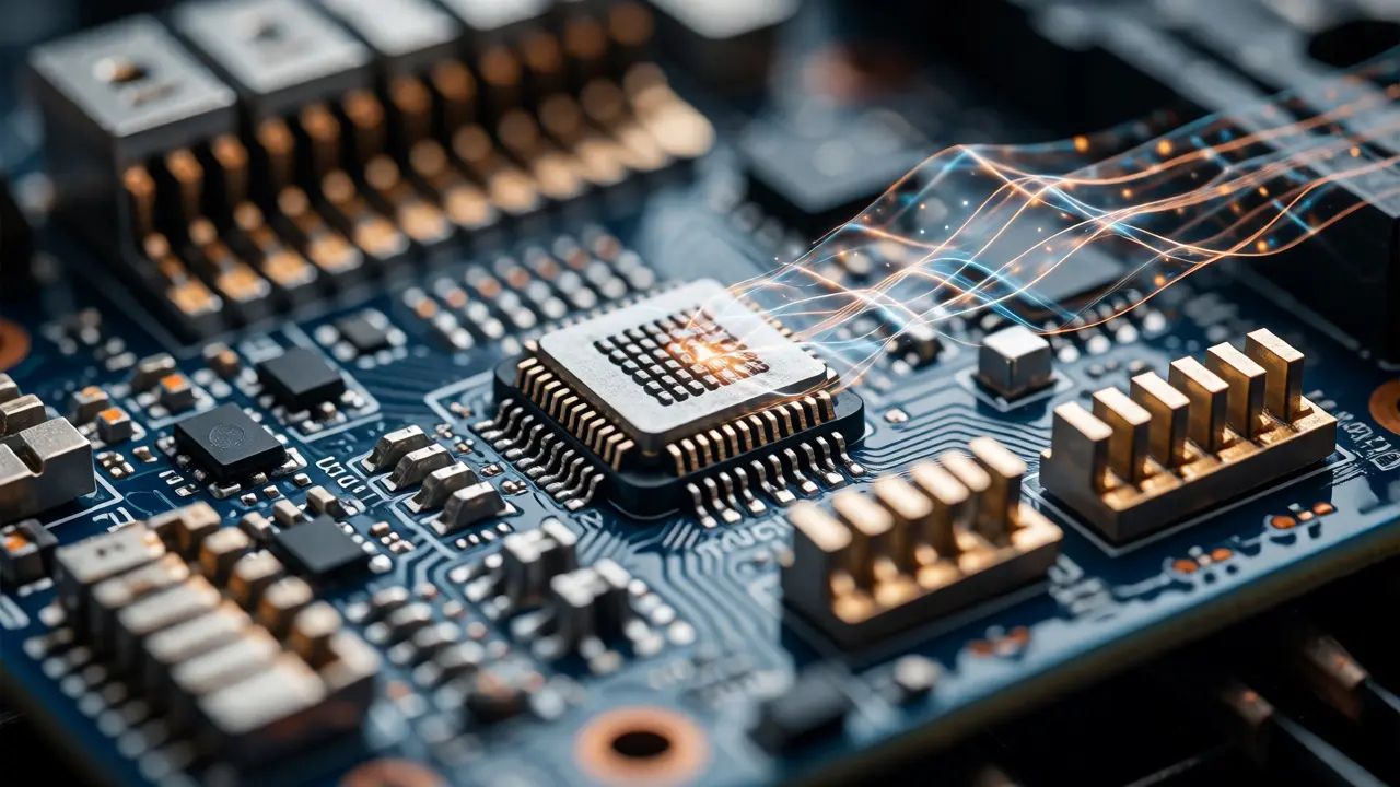
A space-based GNSS receiver isn't just a chip; it's a complex avionics subsystem. At its core, it consists of an antenna, usually nadir-facing (pointing down) or zenith-facing (pointing up), depending on the mission profile. The antenna feeds signals into a low-noise amplifier, filters out interference, and converts analog signals to digital. Then, digital channels acquire and track the signals, decoding navigation messages that tell the receiver where the GPS satellites are.
But here’s the critical part: the processor. It doesn't just calculate position; it calculates Precise Orbit Determination (POD). While your phone gives you accuracy within meters, scientific missions need centimeters. Missions like Sentinel-6, which measures sea-level rise, require radar geolocation accuracy tied directly to orbit knowledge. ESA reports that dual-frequency carrier-phase measurements allow POD to reach the few-centimeter level. This precision comes from processing raw observations on the ground using precise ephemerides, rather than relying solely on broadcast navigation messages.
Key Applications: Beyond Just Knowing Where You Are
Navigation is just the start. These receivers enable several high-value scientific applications:
- Radio Occultation: As a GPS signal passes through Earth's atmosphere to reach a LEO satellite, it bends. By measuring this bending, scientists derive temperature, pressure, and humidity profiles. The CHAMP and GRACE missions collected hundreds of occultation profiles daily, revolutionizing weather forecasting.
- Gravity Field Recovery: Tiny changes in satellite-to-satellite distance, measured via GNSS ranging, reveal variations in Earth's gravity field caused by shifting ice masses or groundwater.
- Attitude Determination: Using multiple antennas, a satellite can determine its orientation by comparing carrier phase differences between signals arriving at each antenna. It’s less accurate than star trackers but useful as a backup.
- Formation Flying: Swarms of satellites, like those in future mega-constellations, need relative positioning to maintain safe distances without colliding.
Current Technology and Future Trends
The market is moving away from single-frequency, single-constellation units toward multi-constellation, multi-frequency systems. Modern receivers support GPS L1, L2, and L5 bands, plus Galileo E1/E5a, GLONASS, and BeiDou. This redundancy improves availability and integrity. For example, Beyond Gravity’s PODRIX receiver processes dual-frequency signals from up to 18 satellites, offering robust performance in challenging environments.
NewSpace companies are driving miniaturization. General Dynamics produces smallsat PNT receivers designed for LEO regimes up to 1,200 km, targeting radiation tolerance of 20 krad(Si). Meanwhile, ESA’s MARCONI project aims for compact, medium-low-cost receivers suitable for large constellations. The trend is clear: smaller, cheaper, and more capable hardware that can operate autonomously for years without human intervention.

Limitations and Challenges
Despite its maturity, space-based GNSS isn't perfect. Signal power decreases significantly with altitude. Above Geostationary Orbit (GEO), GPS signals become sparse because most GPS transmit antennas point toward Earth, not outward. NASA analysis suggests that for lunar trajectories, you might experience outages lasting minutes due to poor geometry.
Other challenges include:
- Interference: RF noise from the spacecraft itself can drown out weak GNSS signals.
- Antenna Blockage: Solar panels or thrusters can obstruct the line of sight to GPS satellites.
- Clock Instability: Small atomic clocks drift over time, requiring regular correction.
- Jamming/Spoofing: As reliance grows, so does vulnerability to intentional signal disruption.
To mitigate these, engineers pair GNSS with Inertial Measurement Units (IMUs). An IMU doesn't rely on external signals, so it fills gaps during outages, though it drifts over long periods. The combination provides robust navigation even when GPS locks are lost.
Frequently Asked Questions
Can any GPS receiver work in space?
No. Consumer GPS receivers are not designed for the high dynamics, radiation environment, or signal geometries found in orbit. They lack the sensitivity to track weak signals from sidelobes and cannot handle the rapid Doppler shifts experienced by fast-moving LEO satellites. Additionally, they are not radiation-hardened, meaning cosmic rays can cause errors or hardware failure.
How accurate is GPS in Low Earth Orbit?
Real-time onboard solutions typically achieve accuracy in the range of tens of meters. However, for scientific missions using post-processing techniques with dual-frequency carrier-phase data and precise orbit products, accuracy can improve to the centimeter level. This high precision is crucial for tasks like altimetry and gravity field mapping.
What is GNSS Radio Occultation?
It is a technique where a LEO satellite tracks a GPS signal as it rises or sets behind Earth's limb. As the signal passes through the atmosphere, it refracts (bends) and slows down. By analyzing these changes, scientists can derive vertical profiles of atmospheric temperature, pressure, and water vapor, providing valuable data for weather and climate models.
Do satellites still need ground stations if they have GPS?
Yes, but less frequently. Ground stations are still needed for uploading commands, downloading scientific data, and performing initial orbit determination or calibration. However, autonomous navigation reduces the dependency on constant ground tracking, allowing satellites to operate independently for longer periods and reducing operational costs.
Is space-based GPS reliable for lunar missions?
It is possible but challenging. At lunar distances, GPS signals are very weak, and the geometry is poor because most GPS satellites are behind Earth from the Moon's perspective. Outages can occur. Current research focuses on using high-gain antennas and advanced processing to make GPS viable for cislunar navigation, often combined with other sensors.
Next Steps for Engineers and Enthusiasts
If you're designing a mission, start by simulating visibility. Determine how many GPS satellites are visible from your specific orbit and attitude throughout the day. Select a receiver that matches your accuracy requirements: a simple COTS (Commercial Off-The-Shelf) unit might suffice for a hobbyist CubeSat needing 10-meter accuracy, while a scientific payload demands a radiation-tolerant, dual-frequency unit with raw data output.
Remember that integration is key. Ensure your antenna placement minimizes blockage and multipath. Plan for thermal cycling and vibration testing. And always have a fallback strategy, such as an IMU or stored ephemeris, for times when the sky isn't cooperating. Space-based GNSS is mature, but treating it as a plug-and-play solution ignores the nuanced realities of orbital physics.