
You are sitting in a plane over the Pacific. Suddenly, your GPS signal drifts by several meters. The pilot switches to backup navigation. You don’t see it, but you just felt the impact of space weather. It’s not science fiction; it’s a daily operational reality managed by a specific team in Boulder, Colorado. That team is the NOAA Space Weather Prediction Center (SWPC), the official U.S. source for alerts that keep satellites flying and power grids stable.
If you’ve ever wondered who watches the Sun so we don’t have to, or how a flare on the Sun translates into a warning email on your phone, this breakdown covers exactly how those operations work. We aren’t talking about abstract astronomy here. We’re talking about a 24/7 mission control center that treats the Sun like a volatile neighbor whose mood swings can knock out your internet.
What Is the NOAA Space Weather Prediction Center?
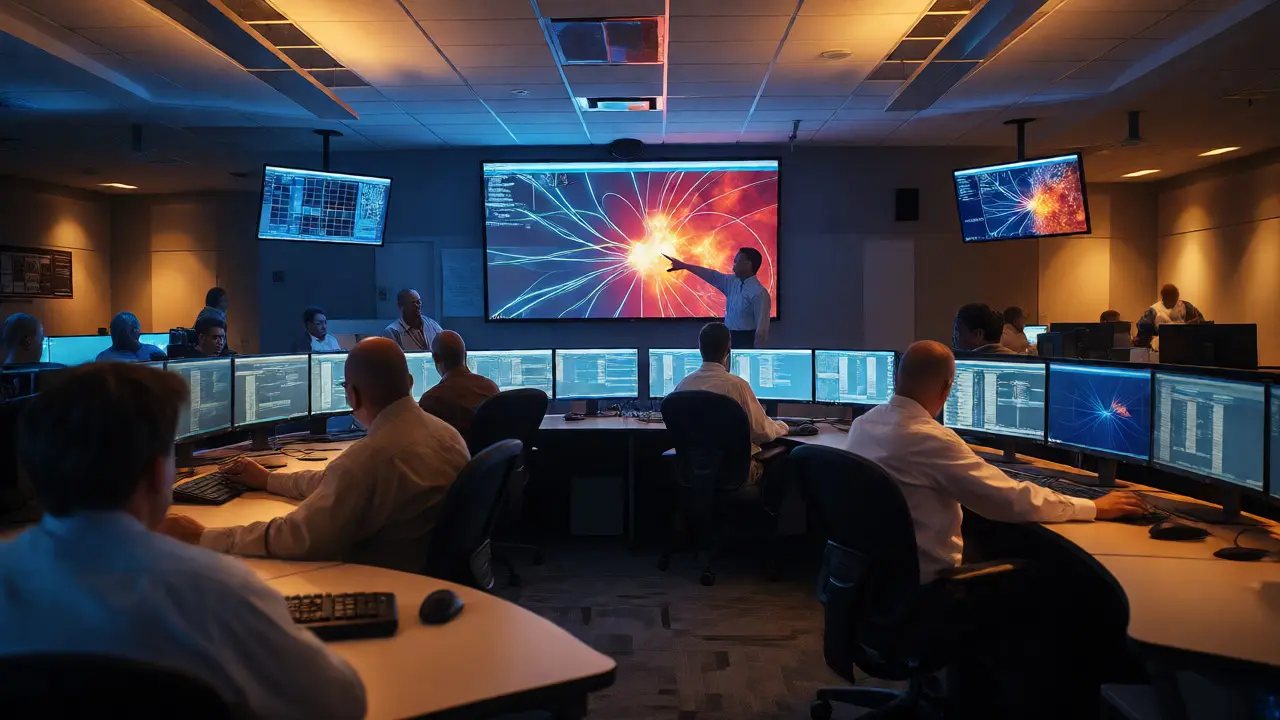
The Space Weather Prediction Center (SWPC) is the National Oceanic and Atmospheric Administration’s operational hub for forecasting conditions in the Sun-Earth environment. Think of it as the National Weather Service, but instead of tracking hurricanes, it tracks solar flares and coronal mass ejections (CMEs). Located in Boulder, Colorado, it operates continuously-24 hours a day, seven days a week.
Why does this matter? Because modern life runs on technology that hates space weather. High-frequency radio communications, GPS navigation, satellite electronics, and even long-distance power lines are vulnerable. The SWPC doesn’t just study these phenomena; it issues official watches, warnings, and forecasts. It is designated a National Critical System by the Department of Homeland Security, meaning if it goes down, critical infrastructure loses its early warning system.
Historically, this role evolved from the Central Radio Propagation Laboratory established in 1946. By 1968, they were running continuous operations. In 2007, it officially became the SWPC. Today, it serves everyone from NASA astronauts to commercial airline pilots and grid operators.
The Data Pipeline: Watching the Sun in Real-Time
How do forecasters know what’s happening before it hits Earth? They rely on a network of eyes in space and on the ground. The core of their monitoring involves combining data from multiple sources to build a picture of the solar wind-the stream of charged particles flowing from the Sun.
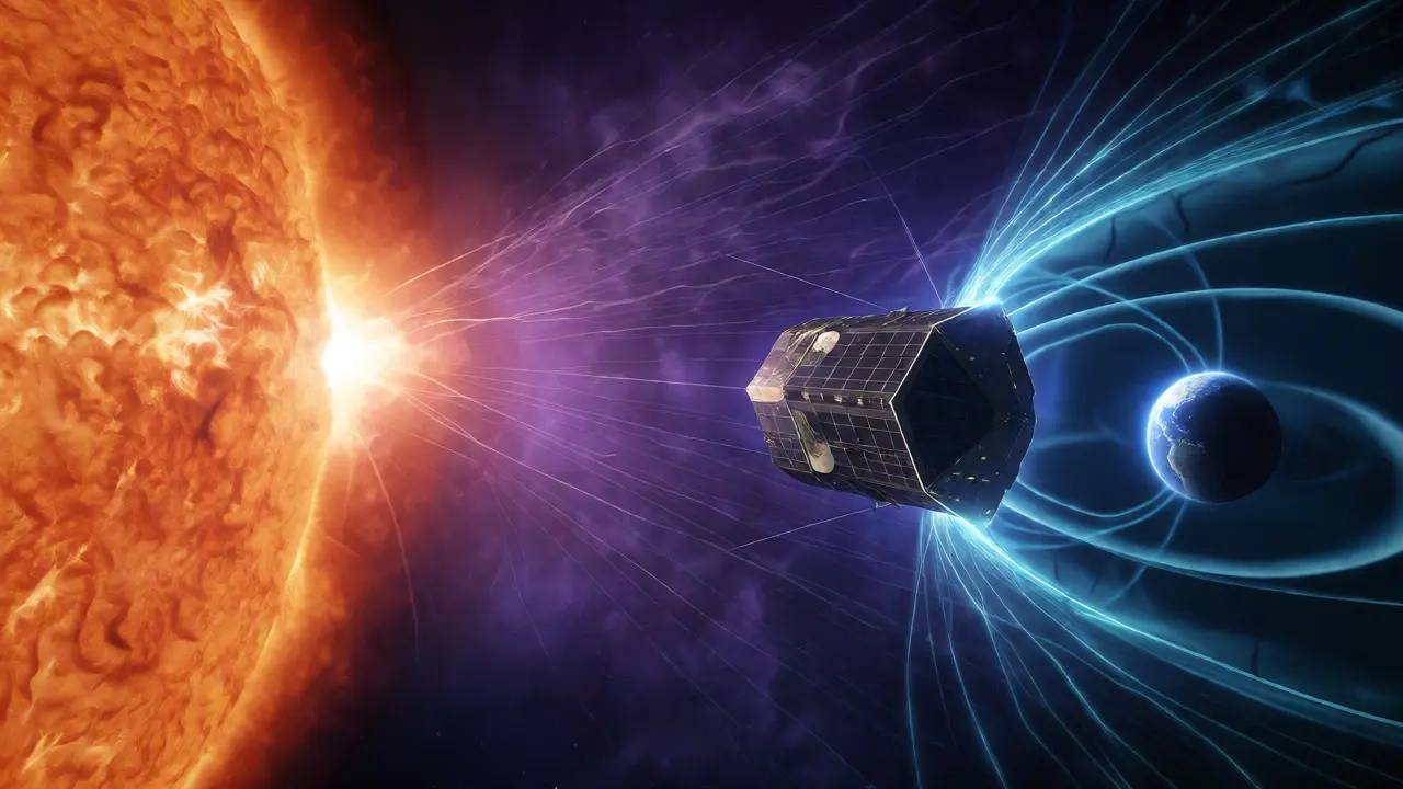
A critical piece of this puzzle is the DSCOVR satellite. Positioned near the Sun-Earth L1 Lagrange point, DSCOVR acts as an upstream sentinel. Because it sits between the Sun and Earth, it gives us a 15 to 60-minute warning window before solar wind conditions actually reach our planet. This might sound short, but for satellite operators needing to reorient antennas or for airlines rerouting polar flights, those minutes are gold.
Other key players include:
- GOES Satellites: Geostationary Operational Environmental Satellites that monitor X-rays and extreme ultraviolet radiation from the Sun.
- Solar Dynamics Observatory (SDO): A NASA mission providing high-resolution images of the solar surface.
- Ground Magnetometers: Networks on Earth that measure changes in the geomagnetic field caused by incoming solar disturbances.
In late 2025, NOAA launched a new dedicated spacecraft called SOLAR-1 (formerly SWFO-L1). This mission is specifically designed to ensure continuity in solar-wind measurements, replacing aging assets and ensuring we don’t go blind when older satellites retire. As of October 2026, SOLAR-1 is fully integrated into the operational data stream, providing crucial plasma and magnetic field data.
Forecasting Methodology: Human Judgment Meets Models
It’s tempting to think forecasting is all done by computers. It isn’t. While models like WSA-Enlil simulate how solar wind travels through the heliosphere, human forecasters remain essential. Why? Because space weather is chaotic. A model might predict a CME will hit Earth, but it might struggle to determine the exact orientation of the magnetic field inside that CME. That orientation determines whether the storm will be mild or severe.
Foresters inspect raw imagery, check model outputs, and apply expert judgment. They issue different types of products based on time horizons:
- 3-Day Forecast: A daily summary predicting conditions for the next three days, with a general outlook up to seven days.
- 30-Hour Forecast: Updated every six hours for short-term precision.
- Weekly Outlook: Issued Mondays, reviewing the past week and looking ahead.
When significant activity occurs, the SWPC issues event-driven alerts. These aren’t generic "weather updates"; they are specific notifications about solar radiation storms, geomagnetic storms, or radio blackouts. For example, if proton flux exceeds certain thresholds, warnings go out immediately to protect astronauts and high-altitude aircraft passengers from radiation exposure.
Understanding the Scales: G, R, and S
To make complex physics understandable for decision-makers, NOAA uses standardized scales. If you see a headline saying "G3 Storm," you need to know what that means without reading a textbook.
| Scale Type | Code Range | Primary Impact Area | Example Effect |
|---|---|---|---|
| Geomagnetic Storms | G1 (Minor) to G5 (Extreme) | Power Grids, Satellites | Voltage control problems; transformer damage at G5. |
| Solar Radiation Storms | S1 (Minor) to S5 (Extreme) | Astronauts, Aviation | Radiation risk to crew; satellite electronics anomalies. |
| Radio Blackouts | R1 (Minor) to R5 (Extreme) | HF Communications | Loss of HF radio contact on sunlit side of Earth. |
For instance, a G2 storm is considered moderate. It might cause minor voltage fluctuations in power systems and degrade satellite drag predictions. But a G5 storm? That’s a potential grid collapse scenario. Similarly, an R3 radio blackout means widespread degradation of high-frequency radio communication, which is critical for aviation and maritime sectors far from cell towers.
Who Uses These Alerts and Why?
You might ask, "Does this affect me directly?" Maybe not today, but potentially yes tomorrow. The user base for SWPC data is diverse:
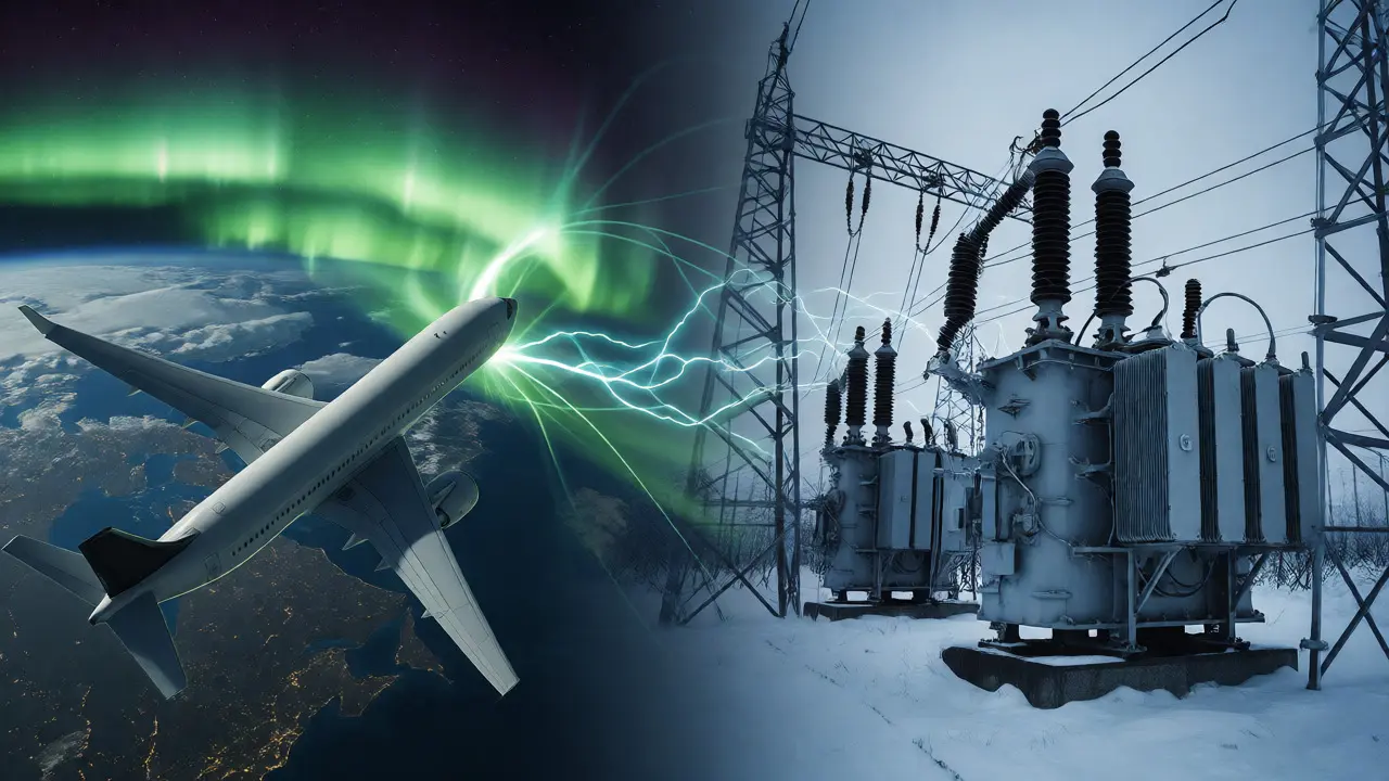
- Aviation: Airlines use SWPC advisories to reroute polar flights during solar radiation events to reduce passenger and crew radiation exposure.
- Utility Companies: Power grid operators monitor geomagnetic induced currents (GICs) to prevent transformer overheating.
- Satellite Operators: Companies like SpaceX or Amazon’s Project Kuiper adjust orbits and orient panels based on atmospheric drag forecasts.
- Emergency Managers: During extreme events, they coordinate responses for communication outages.
Access is free. Anyone can sign up for email alerts via the NOAA website. The National Centers for Environmental Information (NCEI) also provides APIs for developers who want to integrate space weather data into apps or dashboards.
Limitations and Future Challenges
No system is perfect. Forecasting space weather remains probabilistic. A 2024 study noted that mid-term geomagnetic forecasts often hover around 50% accuracy. This isn’t due to incompetence; it’s because the Sun is incredibly complex. We still lack perfect understanding of how magnetic fields reconnect and propagate.
Another challenge is asset continuity. Many current satellites are aging. The launch of SOLAR-1 was a major win to address this, but maintaining a fleet of observation platforms requires constant funding and international cooperation. If we lose our eyes in the sky, we become blind to incoming threats until they hit us.
Critics sometimes argue that alerts are too frequent or vague. However, the SWPC balances false alarms against missed events. Missing a G5 storm could cost billions in damaged infrastructure, so erring on the side of caution is often the safer bet.
How often does NOAA update space weather forecasts?
The SWPC issues a 3-Day Forecast daily. Shorter-term forecasts (30-hour) are updated every six hours. Event-driven alerts, such as watch or warning notices, are issued in real-time as soon as threshold conditions are observed or predicted.
What does a G2 geomagnetic storm mean for my daily life?
A G2 storm is moderate. Most people won't notice anything. However, you might see auroras at higher latitudes than usual. Satellite operators may experience slight increases in drag, and high-latitude power grids might see minor voltage fluctuations, but blackouts are rare at this level.
Can I get alerts sent to my phone?
Yes. You can subscribe to NOAA's alert feed via email. Additionally, many third-party apps and services pull data from the NCEI API to push notifications to mobile devices regarding solar flares, radiation storms, or geomagnetic activity.
What is the difference between a Watch and a Warning?
A Watch means conditions favorable for a storm are developing or expected within a specified period. A Warning means the event is imminent or occurring, and the defined threshold has been reached or exceeded. Warnings require immediate attention from affected industries.
Is the NOAA Space Weather Prediction Center open to the public?
While the physical building in Boulder is primarily for staff, all data, forecasts, and historical records are publicly available online for free through SpaceWeather.gov and the NCEI portal. There is no subscription fee for accessing this government-provided information.