
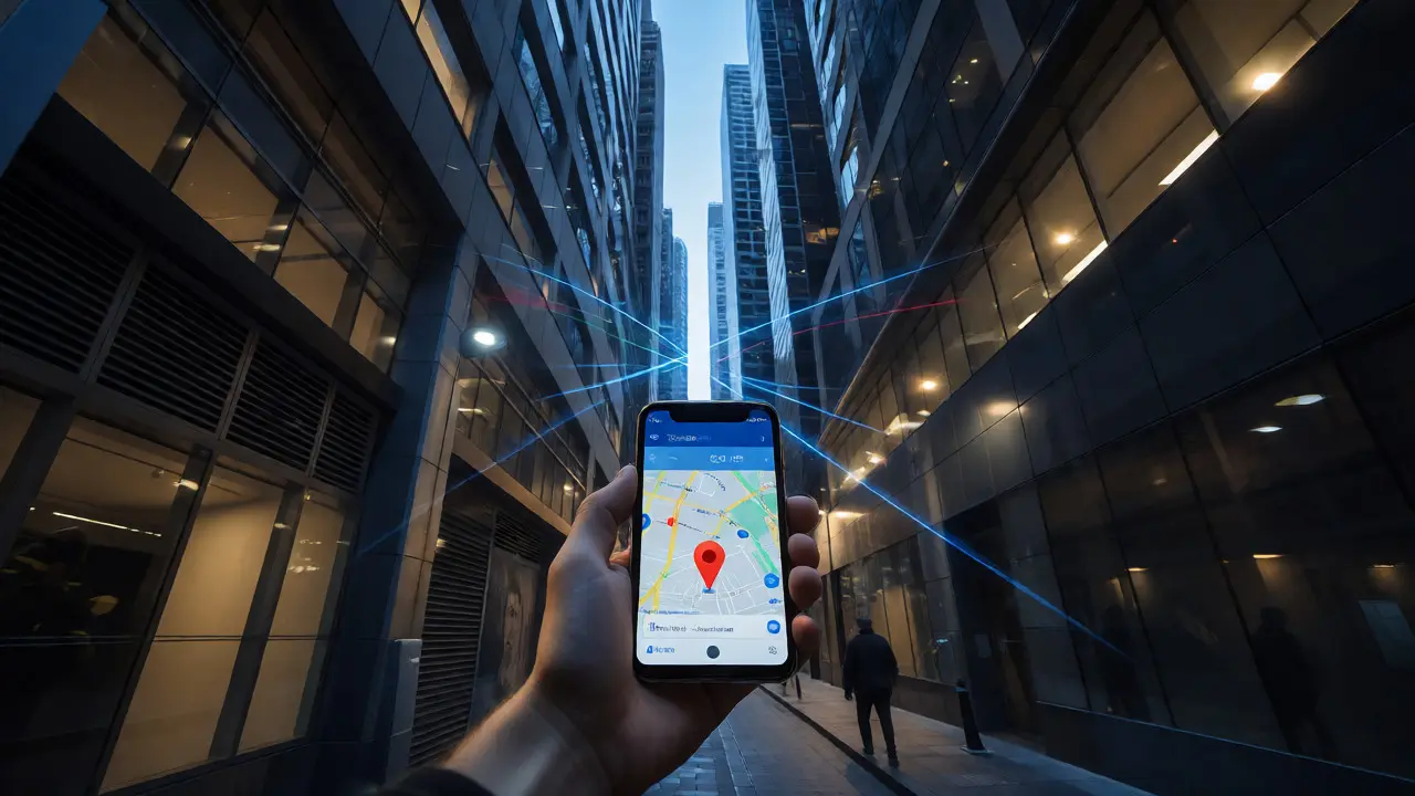
You are standing in a narrow alleyway in Melbourne or driving through the dense canopy of the Blue Mountains. Your phone says your location is somewhere near a building that isn't there, or worse, it’s not moving at all. This frustration stems from a fundamental limitation of older navigation tech: relying on just one group of satellites. Enter multi-constellation GNSS receivers, which tap into multiple global networks simultaneously to solve this problem.
Think of it like listening to radio stations. If you only tune into one station (GPS) and someone turns off the transmitter or blocks the signal with a hill, you go silent. But if you can listen to four different stations at once (GPS, Galileo, GLONASS, BeiDou), the chance that all four go quiet at the exact same moment drops significantly. As of October 2026, this isn't some futuristic concept reserved for military jets; it's becoming standard in everything from high-end smartphones to agricultural tractors. But does more data always mean better results? Not necessarily. There are hidden costs in power, complexity, and engineering that most users never see.
What Exactly Is a Multi-Constellation Receiver?
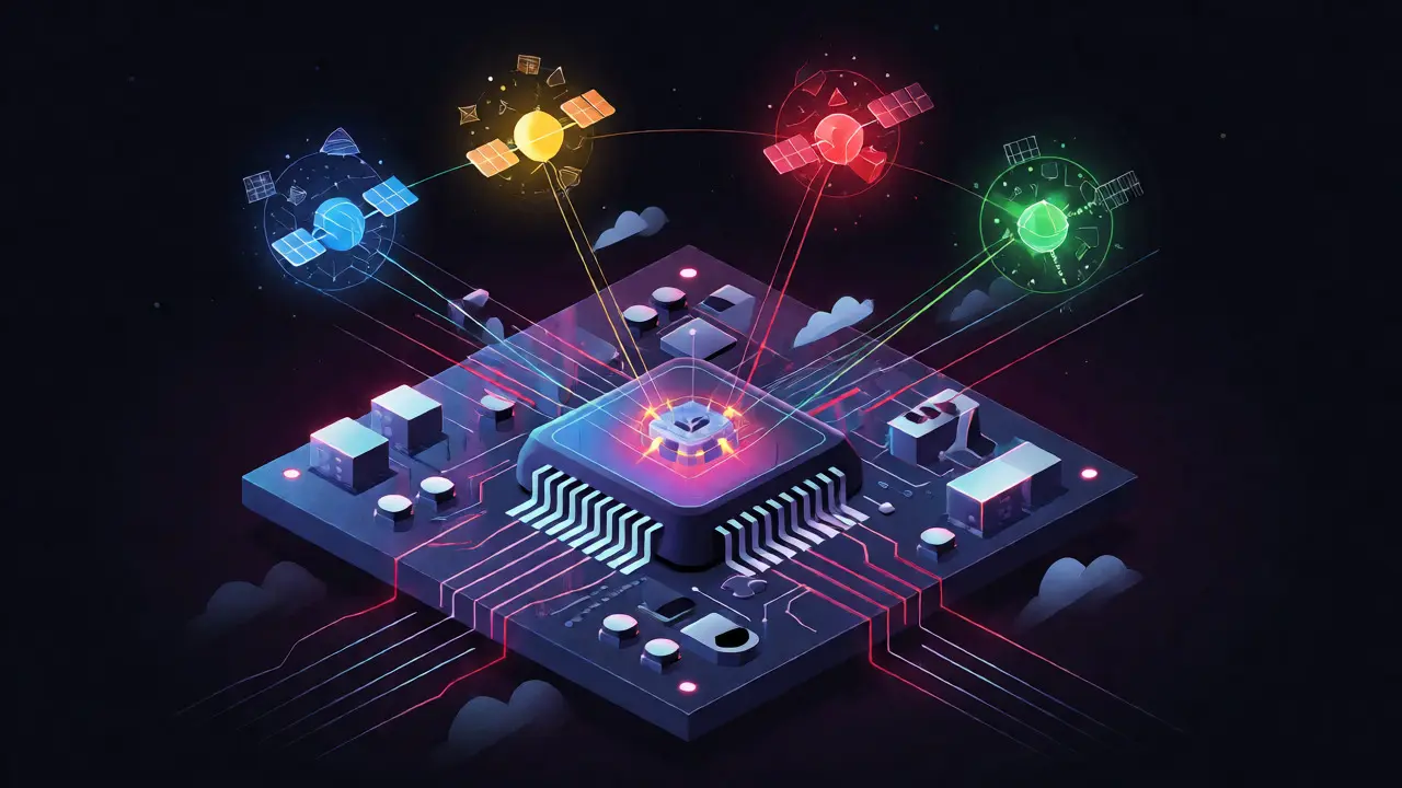
A standard GNSS receiver is a device that calculates its position by measuring the time it takes for signals to travel from satellites to your antenna. Historically, this meant tracking only the United States' Global Positioning System (GPS). A multi-constellation receiver, however, is designed to acquire, track, and process signals from two or more independent systems at the same time. These systems include Europe’s Galileo, Russia’s GLONASS, China’s BeiDou, Japan’s QZSS, and India’s NavIC.
The goal isn't just to have more numbers on a screen. It’s about availability and geometry. In an open field, a GPS-only receiver might see 8 to 12 satellites. Add Galileo, GLONASS, and BeiDou, and that number can jump to over 30 visible satellites. Why does this matter? Because positioning requires a specific mathematical relationship between the receiver and the satellites. If half the sky is blocked by a skyscraper, a GPS-only device might lose the necessary geometric shape (known as Dilution of Precision) to calculate a fix. With multiple constellations, the other systems fill in the gaps, keeping the solution alive when one system fails or is obstructed.
The Core Benefits: Availability and Resilience
The primary advantage is continuity. Imagine you’re using a drone for surveying in a valley surrounded by steep cliffs. The cliffs block the view of the southern sky where many GPS satellites reside. A single-system receiver might drop its lock entirely. A multi-constellation receiver, however, might find enough satellites from Galileo or BeiDou positioned differently in orbit to maintain a continuous position estimate. According to the European Union Agency for the Space Programme (EUSPA), combining these systems improves positioning accuracy by increasing the observation set, effectively giving the receiver more choices to reject bad signals.
Resilience against interference is another major win. Global Navigation Satellite System (GNSS) signals are incredibly weak by the time they reach Earth-comparable to a lightbulb seen from thousands of kilometers away. Jammers or natural noise can easily disrupt them. If a jammer targets the L1 frequency used heavily by GPS, a multi-band, multi-constellation receiver might still lock onto signals from other frequencies or systems, maintaining operation when a simpler device would fail. However, don't mistake this for invincibility. Sophisticated jammers can target broad bands, affecting multiple systems at once, but the burden on the attacker increases significantly.
Technical Challenges: Complexity and Power
If more satellites are better, why aren't all devices using every available system? The answer lies in engineering trade-offs. Processing signals from different constellations is computationally expensive. Each system has its own unique signal structure, navigation message format, and time reference. For instance, legacy GLONASS uses Frequency Division Multiple Access (FDMA), meaning each satellite broadcasts on a slightly different frequency, unlike the Code Division Multiple Access (CDMA) used by GPS and Galileo. This forces the receiver hardware to handle complex filtering and calibration, increasing the risk of errors if not managed perfectly.
Power consumption is the other big hurdle. Tracking more channels means the radio-frequency front end and digital processing cores work harder. Research indicates that dual-frequency operation can increase energy consumption by 35-50% compared to single-band reception. For a smartphone, this impacts battery life. For an IoT sensor in a remote forest meant to run on a coin-cell battery for five years, switching on full multi-constellation tracking could drain the battery in months. Developers often use algorithms to toggle constellations on and off based on signal quality to balance accuracy with longevity.
Accuracy: Does More Satellites Mean Centimeters?
There is a common misconception that adding Galileo and BeiDou automatically makes your phone accurate to within a few centimeters. It doesn’t. In benign conditions-open sky, no interference-a well-calibrated GPS-only receiver can already achieve meter-level accuracy. Adding more constellations primarily helps in difficult environments, reducing the time it takes to get a fix (Time to First Fix) and preventing dropouts.
For true high-precision applications, such as autonomous farming or construction machine control, multi-constellation support must be paired with advanced techniques like Real-Time Kinematic (RTK) or Precise Point Positioning (PPP). Studies show that while multi-GNSS improves repeatability and reduces errors in obstructed areas, the raw improvement in static open-sky accuracy is modest unless combined with correction services. For example, precision agriculture research has shown improvements in moving baseline accuracy from 126 mm to 35 mm under obstructed conditions when using multi-GNSS, but this relies heavily on high-quality antennas and correction data streams.
Comparison of GNSS Systems
To understand why mixing these systems is beneficial, look at their distinct characteristics. No single system dominates in every metric, so combining them creates a robust hybrid.
| System | Operator | Signal Type | Primary Benefit in Hybrid Use |
|---|---|---|---|
| GPS | USA | CDMA | Mature infrastructure, widespread compatibility, highly reliable ephemeris data. |
| Galileo | European Union | CDMA | High-precision civil signals, interoperability with GPS, strong presence in mid-latitudes. |
| GLONASS | Russia | FDMA (Legacy) / CDMA (Modern) | Better coverage at high latitudes (poles), fills gaps when GPS is blocked. |
| BeiDou | China | CDMA | Rapidly growing constellation, strong regional support in Asia-Pacific, additional frequency bands. |
| QZSS | Japan | CDMA | Augments GPS specifically for urban canyons in Tokyo and surrounding regions. |

Real-World Pitfalls: Multipath and Spoofing
Even with 30+ satellites, physics remains a stubborn opponent. Multipath error occurs when signals bounce off buildings, water, or car roofs before hitting your antenna. The receiver thinks the signal traveled a straight line, calculating a longer distance than actually existed. Multi-constellation receivers do not magically eliminate multipath; in fact, tracking more signals can sometimes introduce more noisy reflections if the antenna design is poor. The International Telecommunication Union notes that antenna placement and open-sky visibility remain the most effective mitigations, regardless of how many constellations you use.
Spoofing is another growing threat. Since GNSS signals are unencrypted and predictable, a malicious actor can broadcast fake signals that trick a receiver into thinking it’s somewhere else. While using multiple constellations raises the bar for attackers-they must now generate consistent fake signals for GPS, Galileo, and GLONASS simultaneously-it doesn't guarantee detection. Modern receivers are increasingly integrating inertial sensors (accelerometers and gyroscopes) to cross-check GNSS data, ensuring that if the satellite position jumps illogically, the inertial system flags the anomaly.
Who Needs This Tech?
For the average user walking down a suburban street, the benefits of multi-constellation GNSS are subtle but noticeable: faster map loading and fewer "lost" moments in tunnels or parking garages. However, for professionals, the stakes are higher. Surveyors need sub-meter accuracy to define property boundaries. Farmers rely on auto-steering tractors that must stay within inches of previous passes to avoid overlapping crops. Autonomous vehicles require redundant positioning sources to ensure safety when one system fails.
Integration is key. A standalone GNSS module is rarely enough. The best systems fuse GNSS data with cellular triangulation, Wi-Fi fingerprinting, and inertial measurement units (IMU). This sensor fusion approach ensures that when the sky disappears-whether due to a tunnel, heavy foliage, or a jamming event-the device doesn't stop working; it switches to dead reckoning until the satellites return.
Does using multiple constellations drain my phone battery faster?
Yes, generally speaking. Tracking signals from GPS, Galileo, GLONASS, and BeiDou requires more processing power and radio activity than tracking GPS alone. Modern phones manage this dynamically, activating multi-constellation modes only when needed (like during active navigation) and reverting to lower-power modes otherwise, but heavy usage will impact battery life compared to single-system usage.
Will my old GPS device work with Galileo or BeiDou?
No. Older hardware was designed with RF front ends and software algorithms capable of decoding only specific frequencies and modulation types associated with GPS. To receive Galileo or BeiDou, the device needs updated hardware that supports those specific carrier frequencies and signal structures.
Is multi-constellation GNSS secure against hacking?
It is more resilient but not immune. An attacker must spoof multiple independent systems simultaneously to deceive a multi-constellation receiver, which is technically more demanding than spoofing just one. However, without encrypted authentication signals (which are limited in current civilian use), sophisticated spoofers can still fool receivers if they mimic the timing and code structures correctly across all tracked systems.
Why do I still get inaccurate locations in cities despite having multi-GNSS?
Urban canyons cause severe multipath errors, where signals bounce off glass and steel buildings. Even with many satellites visible, the direct line-of-sight path may be blocked, forcing the receiver to use reflected paths that distort distance calculations. Antenna quality and placement (e.g., on the roof vs. inside a pocket) play a larger role here than the number of constellations.
Do I need to pay for extra subscriptions to use Galileo or GLONASS?
No, basic positioning signals from Galileo, GLONASS, and BeiDou are free for civilian use, similar to GPS. You only pay for subscription-based correction services (like RTK corrections) if you require centimeter-level accuracy for professional applications. Standard smartphone navigation uses the free signals.