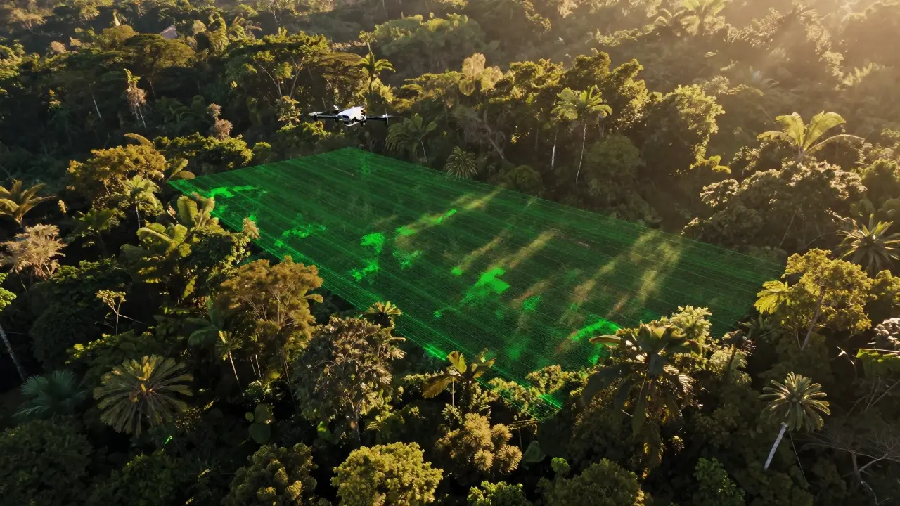
Imagine being able to see through dense forests and map the ground beneath them with laser precision. Or having a self-driving car that knows exactly where every curb, pedestrian, and tree is-even in total darkness. That’s not science fiction. It’s LiDAR in action.
LiDAR stands for Light Detection and Ranging. It’s not just a fancy acronym. It’s a system that fires thousands of laser pulses every second, measures how long they take to bounce back, and turns that data into a detailed 3D map. Unlike cameras that rely on sunlight or radar that uses radio waves, LiDAR creates its own light and sees things other sensors miss. It’s the reason we can now map ancient ruins hidden under jungle canopies, monitor coastal erosion down to the centimeter, and let robots navigate city streets without bumping into anything.
How LiDAR Actually Works
At its core, LiDAR is simple physics. A laser pulse is shot out. It hits something-a tree, a car, the ground-and bounces back. The sensor catches that reflection and measures the time it took to return. Since light travels at about 300,000 kilometers per second, even a tiny delay tells you the distance. The math? Distance = (speed of light × time) ÷ 2. You divide by two because the light traveled there and back.
But a single distance reading isn’t useful. To build a map, you need millions of them. That’s where the scanning system comes in. A rotating mirror or solid-state emitter directs the laser across a wide area, like a flashlight sweeping a room. Each pulse hits a different spot. Combine that with GPS data that tells you exactly where the sensor is on Earth, and an IMU (inertial measurement unit) that tracks tilt, rotation, and movement, and you get a precise 3D coordinate for every return.
Each of these points is called a point. A million points? That’s a point cloud. This cloud isn’t just dots-it’s a digital twin of reality. Trees, buildings, roads, even the shape of a single leaf can be captured. And because it’s measured in 3D space, you can calculate volume, slope, height, and distance with incredible accuracy.
The Three Key Parts of Every LiDAR System
Every LiDAR setup, whether it’s mounted on a drone, a satellite, or a self-driving car, has three essential components:
- The laser scanner: Fires pulses at speeds up to 1 million per second. The wavelength matters too-near-infrared (1,550 nm) works best for vegetation, while green lasers (532 nm) can penetrate water for bathymetric mapping.
- The GPS receiver: Tells you exactly where the sensor is on Earth. Without this, you’d know the shape of a forest but not where it is on the planet.
- The IMU (inertial measurement unit): Tracks the sensor’s orientation. If the drone tilts or rolls, the IMU adjusts the angle of every laser pulse so the map stays accurate.
Put them together, and you get a system that can map 10 square kilometers in under an hour-something that would take weeks with ground surveyors.
Digital Models: DEMs vs DTMs
LiDAR doesn’t just make pretty 3D models. It creates two critical types of elevation data:
- Digital Elevation Model (DEM): Shows the surface as it is-trees, buildings, power lines, and all. Useful for urban planning, vegetation studies, and flood modeling.
- Digital Terrain Model (DTM): Shows the bare ground, stripped of everything on top. This is what geologists and engineers use to study natural slopes, erosion patterns, and fault lines.
How do you get a DTM from a DEM? Software filters out the non-ground points. It looks for patterns-like how the lowest returns in a dense forest are likely the ground, while higher ones are branches. It’s not perfect, but with good data and smart algorithms, it’s accurate enough to model entire watersheds.
Where LiDAR Shines (and Where It Struggles)
LiDAR works best where other tools fail:
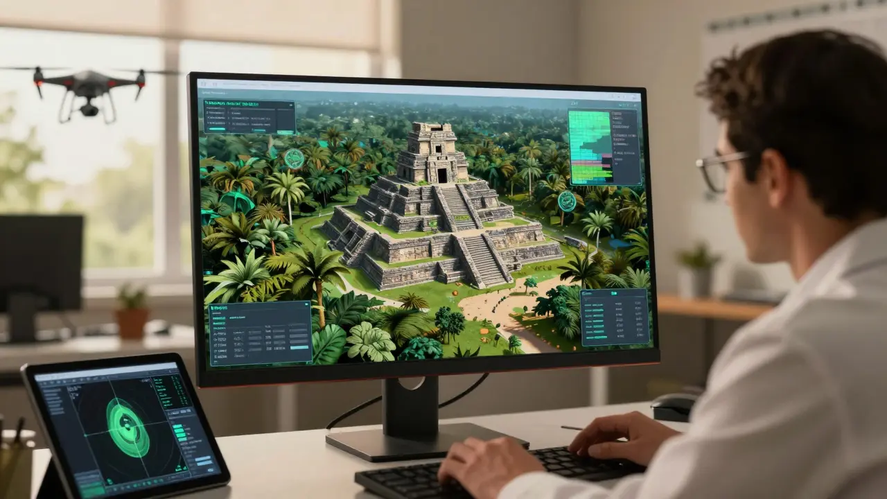
- Under tree cover: Optical satellites can’t see the ground beneath forests. LiDAR can. In Australia’s rainforests, LiDAR revealed hidden Aboriginal pathways buried under decades of vegetation.
- In darkness or fog: Cameras need light. LiDAR doesn’t. It works at midnight, under storm clouds, or in deep shadows.
- On steep or dangerous terrain: Mapping a cliff face with ropes and tape measures is risky. A drone with LiDAR does it in minutes.
But it’s not magic. LiDAR struggles in:
- Heavy rain or fog: Water droplets scatter the laser light. Returns get noisy, and range drops.
- Dark or absorbent surfaces: Black asphalt, water, or velvet-like materials reflect little light. The signal might not return at all.
- Deep water: Bathymetric LiDAR only works in shallow water-usually less than 50 meters. Beyond that, sound (sonar) still wins.
- Highly reflective surfaces: Mirrors, glass, or polished metal can send laser pulses in unpredictable directions, creating false readings.
And yes, the data is huge. A single drone survey can generate 10-50 gigabytes of point cloud data. That’s why processing it requires serious computing power-and trained specialists.
Real-World Uses You Can See Today
LiDAR isn’t just for labs. It’s already changing how we live:
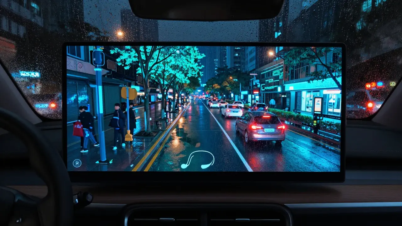
- Autonomous vehicles: Tesla uses cameras and radar. Most others-like Waymo and Cruise-rely on LiDAR to build a 360-degree, real-time 3D map of their surroundings. It’s what lets them detect a child’s toy rolling into the street.
- Precision agriculture: Farmers use LiDAR to map field slopes and drainage patterns. That tells them exactly where to plant crops, where to apply water, and where erosion is likely. In South Australia, vineyards use it to optimize irrigation and reduce water use by 30%.
- Archaeology: In 2018, LiDAR scans over Guatemala’s jungle revealed over 60,000 previously unknown Mayan structures. No digging. Just lasers.
- Coastal monitoring: In Adelaide, local councils use LiDAR to track beach erosion after storms. They compare scans year after year to see if dunes are shrinking-and where to rebuild.
- Infrastructure inspection: Power companies use airborne LiDAR to check if tree branches are too close to power lines. It’s safer and cheaper than sending crews up with chainsaws.
LiDAR vs Radar vs Cameras
It’s easy to confuse LiDAR with radar or cameras. Here’s how they differ:
| Feature | LiDAR | Radar | Camera |
|---|---|---|---|
| Signal Type | Laser light (near-infrared) | Radio waves | Visible light |
| Resolution | Centimeter-level | Meter-level | Pixel-based (depends on lens) |
| Works in Dark? | Yes | Yes | No |
| Penetrates Vegetation? | Yes | Poorly | No |
| Weather Sensitivity | High (fog/rain) | Low | High (glare, shadows) |
| Output | 3D point cloud | Range + bearing | 2D image |
LiDAR gives you shape and structure. Radar tells you something’s out there. Cameras show you color and texture. Together, they’re powerful. But for precise 3D mapping? LiDAR still leads.
The Future: Cheaper, Smarter, Everywhere
Five years ago, a professional airborne LiDAR system cost over $100,000. Today, a drone-mounted unit runs under $20,000. Solid-state LiDAR-no moving parts, just chips-is driving prices even lower. Companies like Luminar and Innoviz are making sensors small enough to fit in smartphones.
And the data tools? They’re getting smarter. Open-source software like PDAL and QGIS lets anyone process LiDAR data without a PhD. AI can now automatically classify points as trees, buildings, or roads. In just a few clicks, you can turn raw laser data into a usable map.
LiDAR is no longer a niche tool for government surveys. It’s becoming as common as GPS. From tracking urban tree canopy growth to guiding delivery robots, it’s quietly reshaping how we see-and interact with-the world.
What is the main advantage of LiDAR over traditional surveying?
LiDAR captures millions of precise 3D points in minutes, while traditional surveying requires teams with tape measures, theodolites, and GPS units working for days or weeks. It’s faster, safer, and covers more area with higher accuracy.
Can LiDAR see through walls?
No. LiDAR lasers can’t penetrate solid walls like concrete or brick. It only measures surfaces the light can reach. But it can map the outside of buildings, and in some cases, detect gaps in vegetation or thin materials like leaves or wire mesh.
Is LiDAR the same as sonar?
No. Sonar uses sound waves underwater, while LiDAR uses light in air or water. Sonar works better in deep water, while LiDAR is limited to shallow depths (under 50 meters). They’re similar in principle-measure time of echo-but use different physics.
Why do self-driving cars need LiDAR if they have cameras?
Cameras struggle in low light, glare, or shadows. LiDAR gives exact distance measurements in any lighting condition and creates a real-time 3D map of the environment. It’s like giving the car depth perception-something cameras alone can’t reliably do.
How accurate is LiDAR data?
Professional systems can be accurate to within 2-5 centimeters horizontally and vertically. For drone surveys, accuracy depends on GPS quality and calibration. Consumer-grade systems may be accurate to 10-20 centimeters, which is still good enough for mapping, agriculture, and construction.
Can I use LiDAR on my phone?
Some high-end smartphones, like the iPhone Pro models since 2020, include a LiDAR sensor. It’s used for AR apps, portrait mode depth sensing, and room scanning. But it’s not meant for mapping terrain-it’s too short-range (under 5 meters) and low-resolution compared to survey-grade systems.