

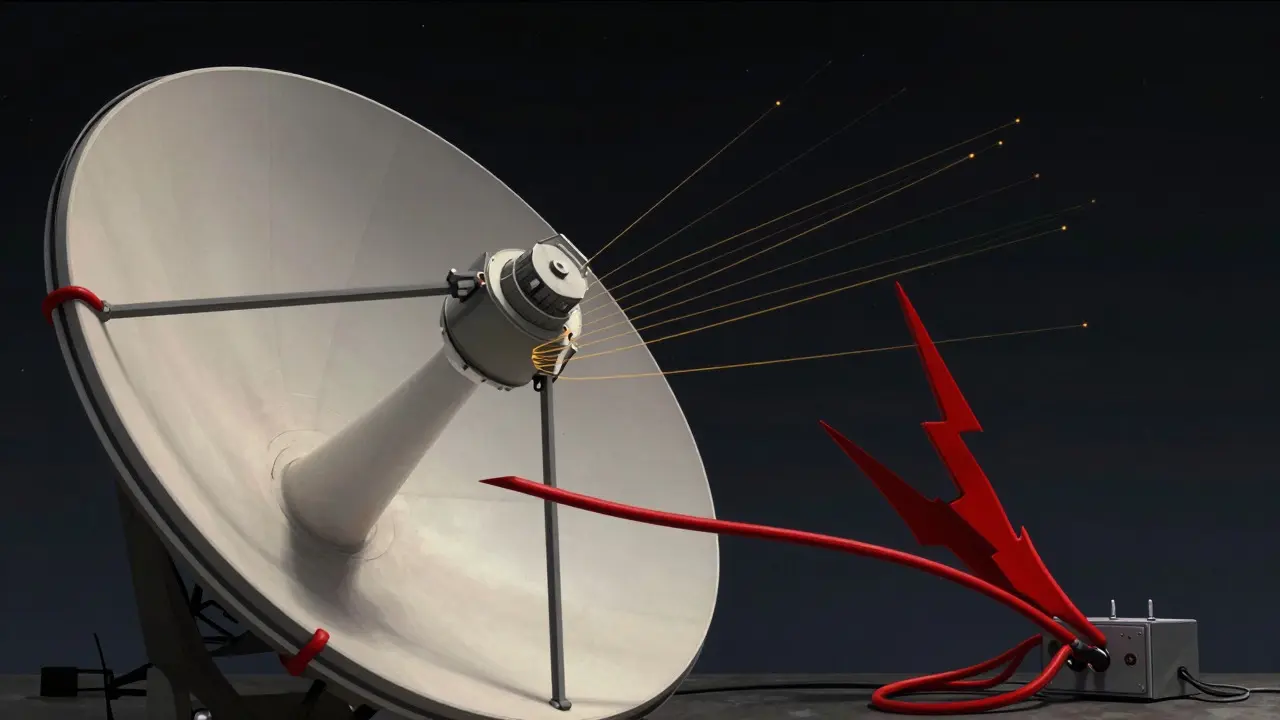
Imagine you are piloting a drone over a busy city. Your controller shows you are hovering perfectly still at 100 meters altitude. Suddenly, the screen jumps. The drone is now showing it is five kilometers away, moving at 200 kilometers per hour. In reality, it hasn't moved an inch. This isn't a glitch in your code; it is a GNSS spoofing attack, where fake satellite signals trick your receiver into calculating a false position.
Global Navigation Satellite Systems (GNSS) like GPS, Galileo, GLONASS, and BeiDou are the backbone of modern logistics, aviation, and timing networks. But they have a fatal flaw: the signals arriving at your antenna are incredibly weak, often weaker than background noise. A spoofer doesn't need to jam the signal; they just need to shout louder. By broadcasting stronger, fake signals, they can hijack your receiver's tracking loops and feed it erroneous data. As of mid-2026, protecting against this requires more than just buying a better receiver. It demands a layered approach to GNSS security monitoring.
Understanding the Threat Landscape
To fight spoofing, you first need to understand how it works. Unlike jamming, which simply drowns out real signals with noise, spoofing is subtle. It mimics the structure of authentic satellite signals but embeds false time and ephemeris data. The International Civil Aviation Organization (ICAO) defines this formally as the broadcast of GNSS-like signals that cause avionics to calculate erroneous positions.
The danger lies in the 'silent' takeover. A sophisticated spoofer can gradually shift your position solution by centimeters per second. You might not notice until you are miles off course or your financial transaction timestamps are skewed by milliseconds. Recent incidents in maritime shipping and border regions have shown that these attacks are no longer theoretical exercises; they are operational threats targeting critical infrastructure.
The core problem is trust. Your receiver trusts the signal it locks onto. If that signal is fake, your Position, Velocity, and Time (PVT) solution is garbage. Security monitoring exists to break that blind trust by constantly verifying if the signal makes sense physically, statistically, and contextually.
Layer 1: Signal Power and Consistency Checks
The simplest way to catch a spoofer is to look at signal strength. Authentic GNSS signals arrive from space after traveling 20,000 kilometers. They are extremely weak, typically around -130 dBm. A terrestrial spoofer, sitting perhaps a few hundred meters away, must transmit much stronger signals to overpower the real ones and capture your receiver's attention.
Carrier-to-Noise Ratio (C/N0) monitoring is the frontline defense. If you see all satellites suddenly jump to unusually high power levels simultaneously, something is wrong. Real satellites move across the sky; their signal strengths change gradually based on elevation angle. Fake signals from a single ground source often show correlated power spikes across multiple channels.
However, advanced spoofers know this. They may use power-matched attacks, keeping their signal strength close to authentic levels. This is where consistency checks come in. Receivers like those from Septentrio use features such as AIM+ to analyze the shape of the correlation function. A real signal has a specific, predictable shape. A spoofed signal, especially one generated digitally, might have subtle distortions or 'evil' peaks that reveal its artificial nature.
- Sudden Jumps: Monitor for unreasonable jumps in carrier amplitude or code phase.
- Correlation Shape: Check if the signal peak matches the expected mathematical model.
- Multipath vs. Spoofing: Distinguish between reflections off buildings (multipath) and coherent fake signals.
Layer 2: Multi-Sensor Fusion and Geofencing
If signal analysis isn't enough, bring in other sensors. This is known as multi-sensor fusion. Your GNSS receiver shouldn't work in isolation. It should talk to your Inertial Navigation System (INS), odometers, and even map data.
Consider a truck equipped with both GPS and an INS. The INS tracks acceleration and rotation using gyroscopes and accelerometers. If the GPS says you jumped 50 meters instantly, but the INS says you were stationary, the system flags a conflict. A 2018 study demonstrated that comparing the Euclidean norm of the difference between GPS-derived position and INS-derived position can declare a spoofing attack when the discrepancy exceeds a set threshold.
Geofencing adds another layer of logic. If your asset is a train on a fixed track, it cannot be in the middle of a lake. If the GNSS reports a position outside the predefined valid area, the system triggers an alert. This is called opportunistic position verification. It uses external constraints-like digital maps or known infrastructure locations-to validate the GNSS solution. If the reported position violates physical laws or geographic boundaries, it is likely spoofed.
Layer 3: Spatial Processing and Antenna Arrays
For high-value assets like aircraft or military vessels, software checks might not be enough. Here, hardware plays a crucial role. Spatial processing uses multiple antennas arranged in an array to determine the direction of arrival (DoA) of signals.
Real satellites are spread across the sky. A spoofer is usually a single point source on the ground. By analyzing the phase differences of the signal arriving at each antenna element, you can beamform toward the satellites and place a 'null' in the direction of the spoofer. This technique can not only detect but also suppress the fake signal in real-time.
While expensive and complex, spatial processing provides definitive proof. If two signals claiming to be different satellites appear to come from the exact same angle, you have a spoofer. This method is increasingly being integrated into industrial receivers for critical applications where failure is not an option.
Responding to a Detected Attack
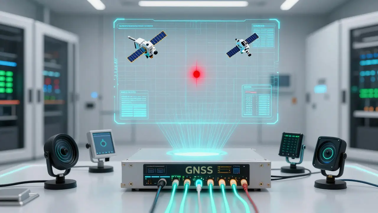
Detection is useless without response. When your monitoring system flags a spoofing event, what happens next? The industry standard, particularly in aviation guided by ICAO, involves a structured three-step process: monitor, assess, and mitigate.
- Alarm and Exclusion: Immediately flag the corrupted signals. Advanced receivers can exclude the suspicious satellites from the positioning calculation, relying on the remaining authentic signals to maintain a degraded but valid fix.
- Switch to Backup: Transition to alternative navigation sources. This could mean switching to inertial navigation, using terrestrial systems like VOR/DME in aviation, or relying on cellular network positioning.
- Notify and Report: Issue NOTAMs (Notices to Air Missions) or internal alerts. Notify regulatory bodies. In a coordinated network, one user's detection helps others avoid the threat.
NovAtel’s GRIT technology, for example, integrates these responses directly into the receiver firmware. It doesn't just tell you there is a problem; it actively manages the signal health to keep your system running. For enterprise users, this means less downtime and higher safety margins.
| Method | Complexity | Cost | Best For |
|---|---|---|---|
| Signal Power (C/N0) | Low | Low | Consumer devices, basic IoT |
| Multi-Sensor Fusion (INS/GNSS) | Medium | Medium | Vehicles, drones, robotics |
| Spatial Processing (Arrays) | High | High | Aviation, military, surveying |
| Clock-State Verification | Medium | Low-Medium | Timing-critical infrastructure |
The Future of GNSS Integrity
As spoofing techniques evolve, so do our defenses. We are seeing a shift toward self-consistent verification methods. A 2026 paper introduced a technique that verifies the receiver's own clock state. Since spoofers manipulate pseudorange observations, they inevitably introduce inconsistencies in the inferred time. By integrating clock drift over time, receivers can detect these anomalies without needing external sensors.
Furthermore, new satellite constellations are rolling out encrypted and authenticated services. Galileo’s OS-NMA (Open Service Navigation Message Authentication) allows receivers to verify that the message actually came from the satellite. While not all signals will be authenticated immediately, the trend is clear: we are moving from trusting signals blindly to verifying their origin cryptographically.
For developers and engineers, the takeaway is simple. Do not rely on a single metric. Build redundancy. Combine signal analysis, sensor fusion, and contextual awareness. And always have a plan B for when the sky turns hostile.
What is the difference between GNSS jamming and spoofing?
Jamming involves broadcasting strong noise to drown out satellite signals, causing a loss of lock. Spoofing involves broadcasting fake but structured signals that mimic real satellites, tricking the receiver into accepting false position data. Jamming denies service; spoofing corrupts data.
How can I detect a GNSS spoofing attack on my device?
You can detect spoofing by monitoring Carrier-to-Noise Ratio (C/N0) for sudden, correlated spikes across all satellites. Additionally, compare your GNSS position with other sensors like an IMU or odometer. If the GPS says you are moving fast but your wheels aren't turning, you are likely being spoofed.
Is GNSS spoofing a common threat in 2026?
Yes. With cheap software-defined radios available, spoofing has become accessible to many actors. It is frequently seen in border regions affecting shipping and aviation, as well as in urban environments affecting autonomous vehicles and drones.
What is the best way to respond to a detected spoofing attack?
The best response is immediate exclusion of the corrupted signals from the positioning calculation. Switch to backup navigation modes like inertial navigation or terrestrial aids. Alert relevant authorities and log the event for forensic analysis.
Can consumer-grade GPS receivers detect spoofing?
Most basic consumer receivers lack advanced detection features. However, some newer smartphones and IoT modules include basic C/N0 monitoring. For robust protection, industrial-grade receivers with features like Septentrio's AIM+ or NovAtel's GRIT are recommended.
How does multi-sensor fusion help prevent spoofing?
Multi-sensor fusion cross-checks GNSS data with independent sources like accelerometers, gyroscopes, and wheel encoders. If the GNSS data contradicts the physical movement recorded by these sensors, the system can identify and reject the fake GNSS input.
11 Responses
THIS IS EXACTLY WHAT I HAVE BEEN SAYING FOR YEARS!!! The government is literally watching us through our phones and now they are admitting the signals can be faked?!? It is a total conspiracy to control where we go and what we buy!!! Why do you think they need all that data?!? It is not for navigation, it is for CONTROL!!! They want to know exactly where you are at all times so they can manipulate your reality!!! I am never taking my phone out of Faraday cage mode again!!! Wake up people!!!
I work in logistics and we see this stuff more often than anyone realizes. The INS fusion part is key because GPS alone is just too fragile these days. We had a shipment truck report being in the middle of the ocean while it was clearly sitting in a depot in Ohio. Turned out to be a localized spoofer testing equipment nearby. Just adds another layer of headache for supply chain managers.
You guys are missing the point entirely. This isn't about security, it's about profit margins. Companies like Septentrio and NovAtel are pushing this 'security' narrative to sell overpriced hardware to panicked corporations. Spoofing is rare and mostly done by hobbyists or military exercises. Most of the time, your phone works fine. Stop letting tech bros scare you into buying enterprise gear for consumer problems. It is pure fear-mongering to boost Q3 earnings.
Actually, Jacob is half right but misses the nuance. The threat model has shifted from theoretical to operational, as the post states. But the solution isn't just buying expensive receivers. It's about signal processing algorithms. The C/N0 monitoring mentioned is basic. The real innovation is in the correlation function analysis. If you don't understand how digital signal processing handles the early, prompt, and late correlators, you aren't qualified to judge the efficacy of AIM+ or GRIT. It's not just about power levels; it's about the mathematical signature of the noise floor versus the signal peak.
I have been working with drone fleets for agricultural mapping for about five years now, and honestly, the spatial processing part sounds amazing but way too expensive for most of us small operators. We mostly rely on the multi-sensor fusion with IMUs, which helps a lot when flying under tree canopies where satellite visibility is poor anyway. The article mentions that spoofers can mimic signal strength, which is scary because our current cheap receivers would definitely fall for that. I guess we need to upgrade our hardware soon if we want to keep operating in urban areas without losing our drones to fake sky signals.
so basically my gps is lying to me all the time?? lol. i mean i knew it wasnt perfect but fake signals?? thats wild. good thing i always double check with maps offline. thanks for the info though, kinda makes me wanna throw my phone in the river but idk maybe ill just keep an eye on the battery usage since spoofing probably drains it faster?
Oh look, another American worrying about their precious drone toys while the rest of the world deals with actual infrastructure collapse. In India, we deal with jamming every election season. Spoofing is the next logical step for authoritarian regimes to track dissidents. You guys are lucky you only have to worry about your delivery apps getting lost. Maybe focus on securing your own borders before lecturing the world on GNSS integrity. Typical US-centric view of global tech threats.
The clock-state verification method mentioned in the future section is actually quite promising. Since spoofers manipulate pseudorange, they introduce timing inconsistencies that accumulate. By monitoring the receiver's internal clock drift against the expected stability of the atomic clocks on satellites, you can detect anomalies without external sensors. It's a software-only solution which makes it accessible for IoT devices that can't afford antenna arrays. Worth looking into for low-cost applications.
This is really interesting! I never thought about how weak the actual signals are until they travel all that way. It makes sense that a local source could overpower them easily. The idea of geofencing seems super practical for things like trains or ships that have predictable paths. Gives me a bit more confidence in using location services for critical tasks, knowing there are layers of protection being developed. Thanks for breaking it down!
just reading this and feeling a bit overwhelmed. technology moves so fast. i hope regular people like me can still trust our phones to get us home safely without needing a degree in signal processing. nice writeup though.
The table comparing detection methods is useful but lacks context on implementation complexity for embedded systems. Signal power checks are trivial to implement in firmware. Multi-sensor fusion requires tight integration between GNSS and IMU drivers, which many OEMs fail to optimize. Spatial processing needs specialized RF front-ends. For most developers, the bottleneck isn't the algorithm but the hardware support. Also, Galileo's OS-NMA is not widely supported yet in consumer chips, so cryptographic authentication remains a future promise rather than a present reality for the mass market.